Sportsman’s Retreat – ALL SOLD
If you’re looking for privacy or a place for outdoor recreation, look no further!
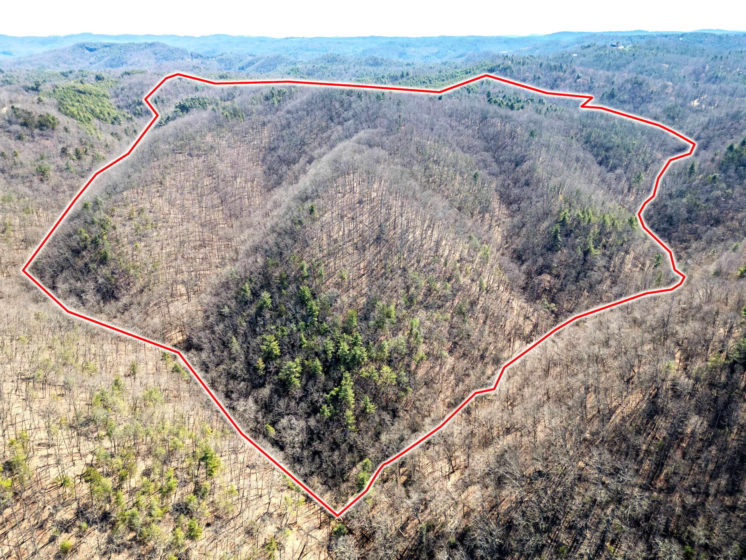
This property is located in the Terry’s Fork area of Floyd County, VA, (north county, off of Lick Ridge Road, Rt 790) and offers nine tracts of land. The smallest is just over five acres and the three largest are 25+ acres. These tracts would be amazing for hunting, ATV trails, camping or even for building a cabin or home. There is a lot of seclusion to be found here. You’d share your land with assorted wild game as deer, turkey, squirrels, racoons and an occasional bear roam this area.
All tracts are guaranteed to perk, currently tracts 1, 2, 3, 6, 7 and 9 have been approved for three-bedroom homes. Several tracts offer small streams and the larger 25+ tracts may have small spring streams.
Land is convenient to several areas, you’ll be 16 miles from downtown Floyd, VA, 29 miles from downtown Salem, VA and 18 miles from downtown Christiansburg, VA.
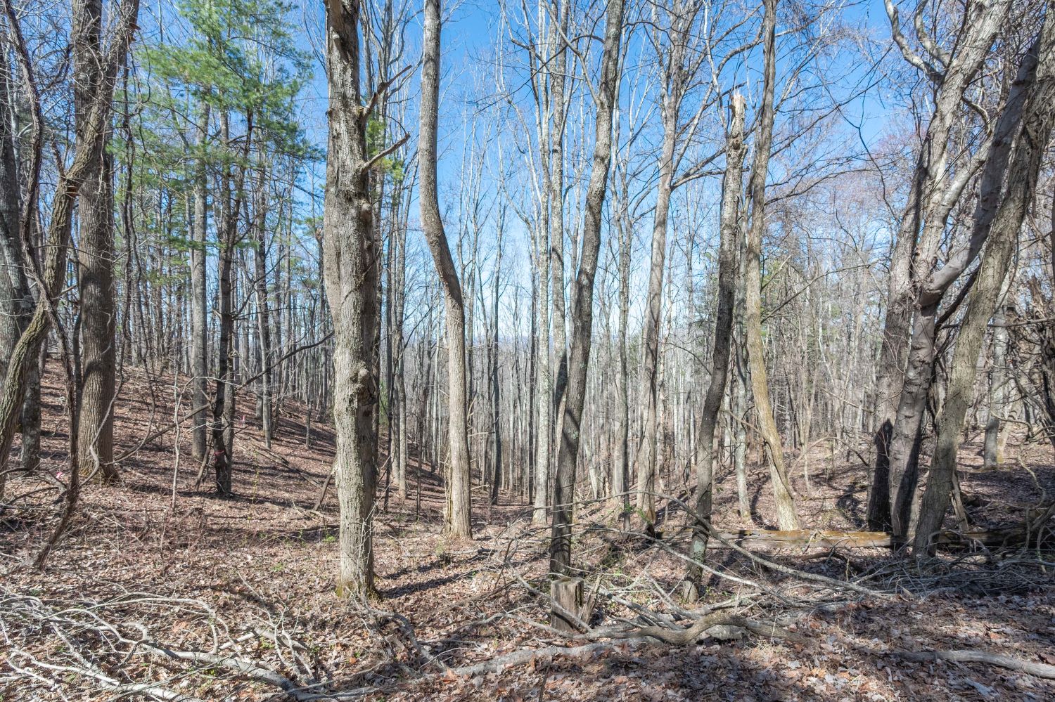
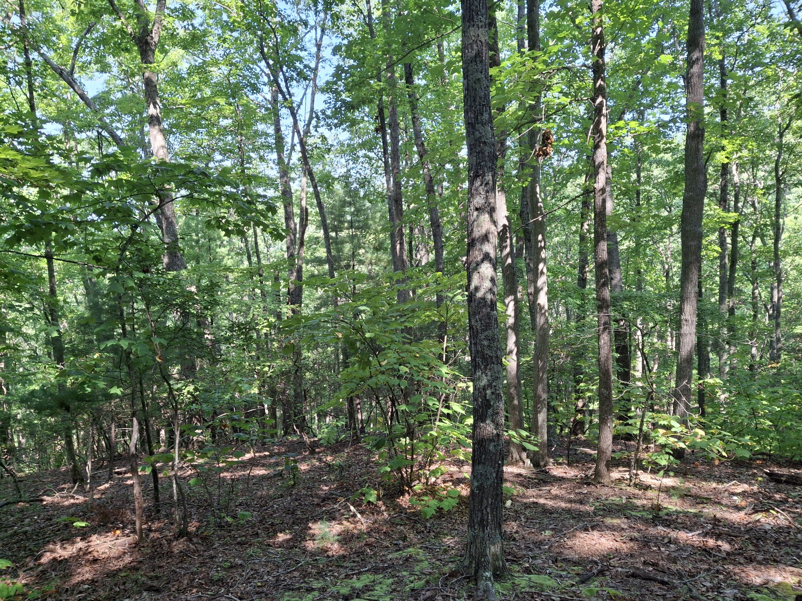
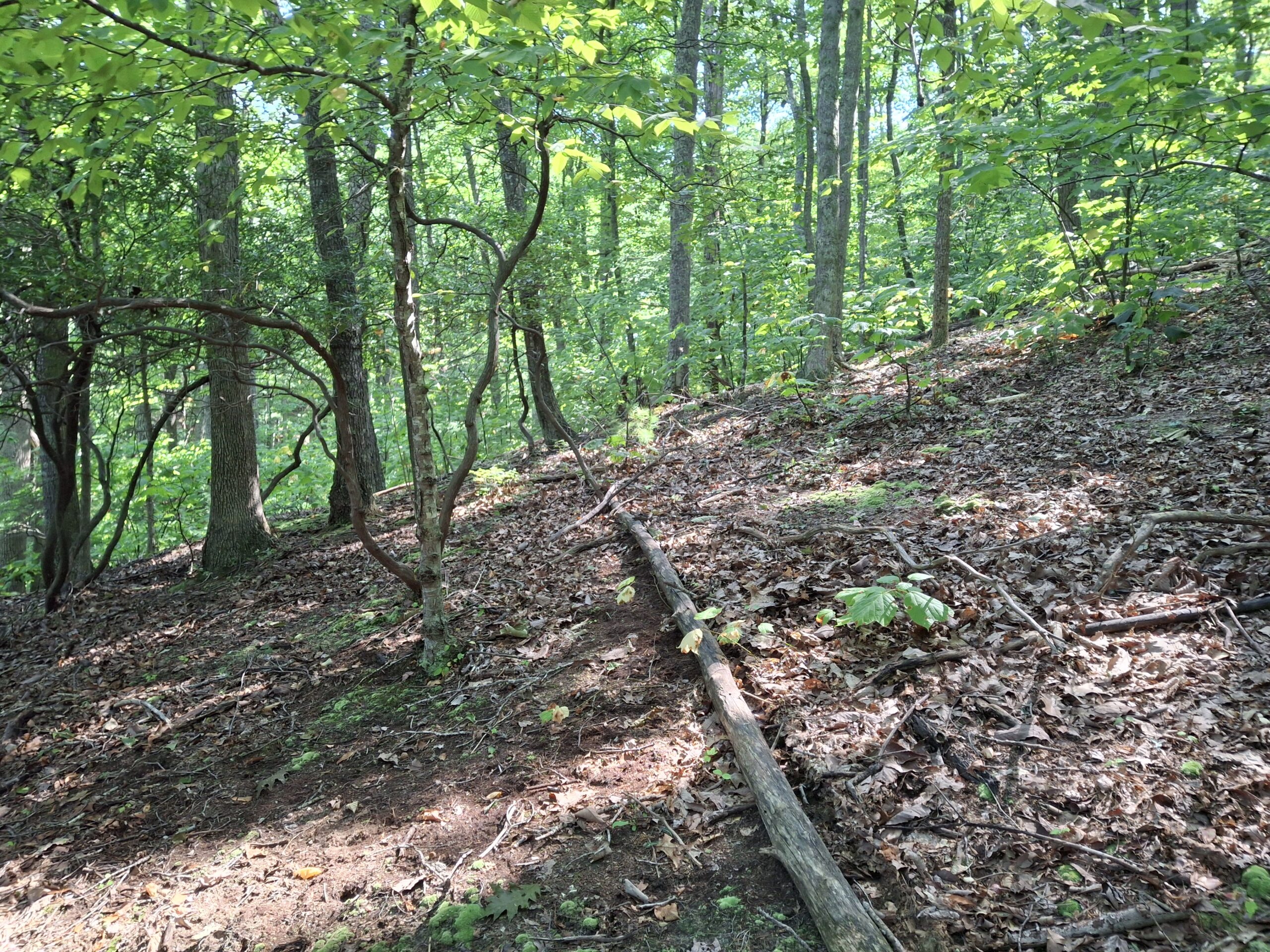
All tracts are mostly wooded with mature timber (poplar, oak and some white pine) on them. There is the potential for great views, but some clearing would be needed to fully enjoy them.
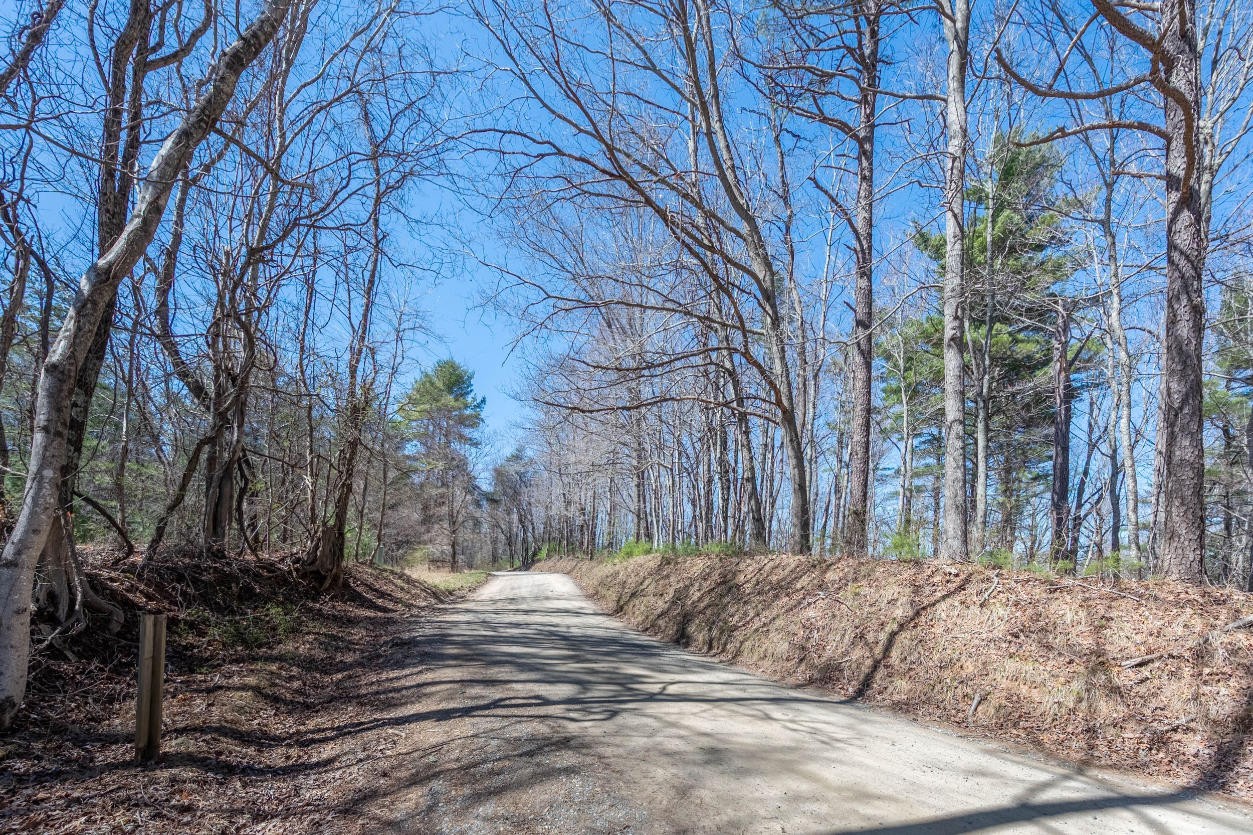
Power is readily available for this area and fiber is already there.
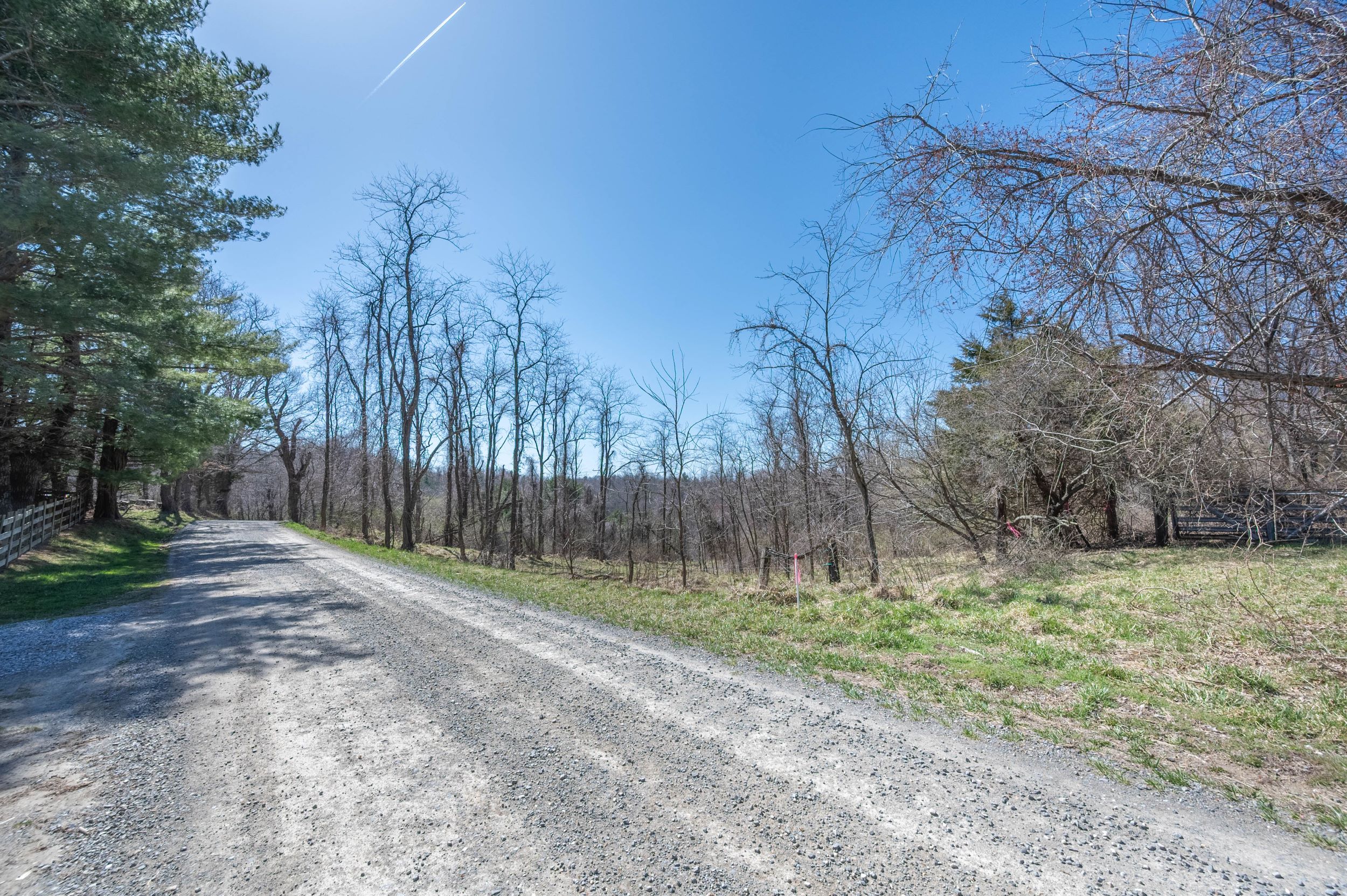
All tracts except 4 and 5 have road frontage, these tracts offer a 50′ right of way to access the property.
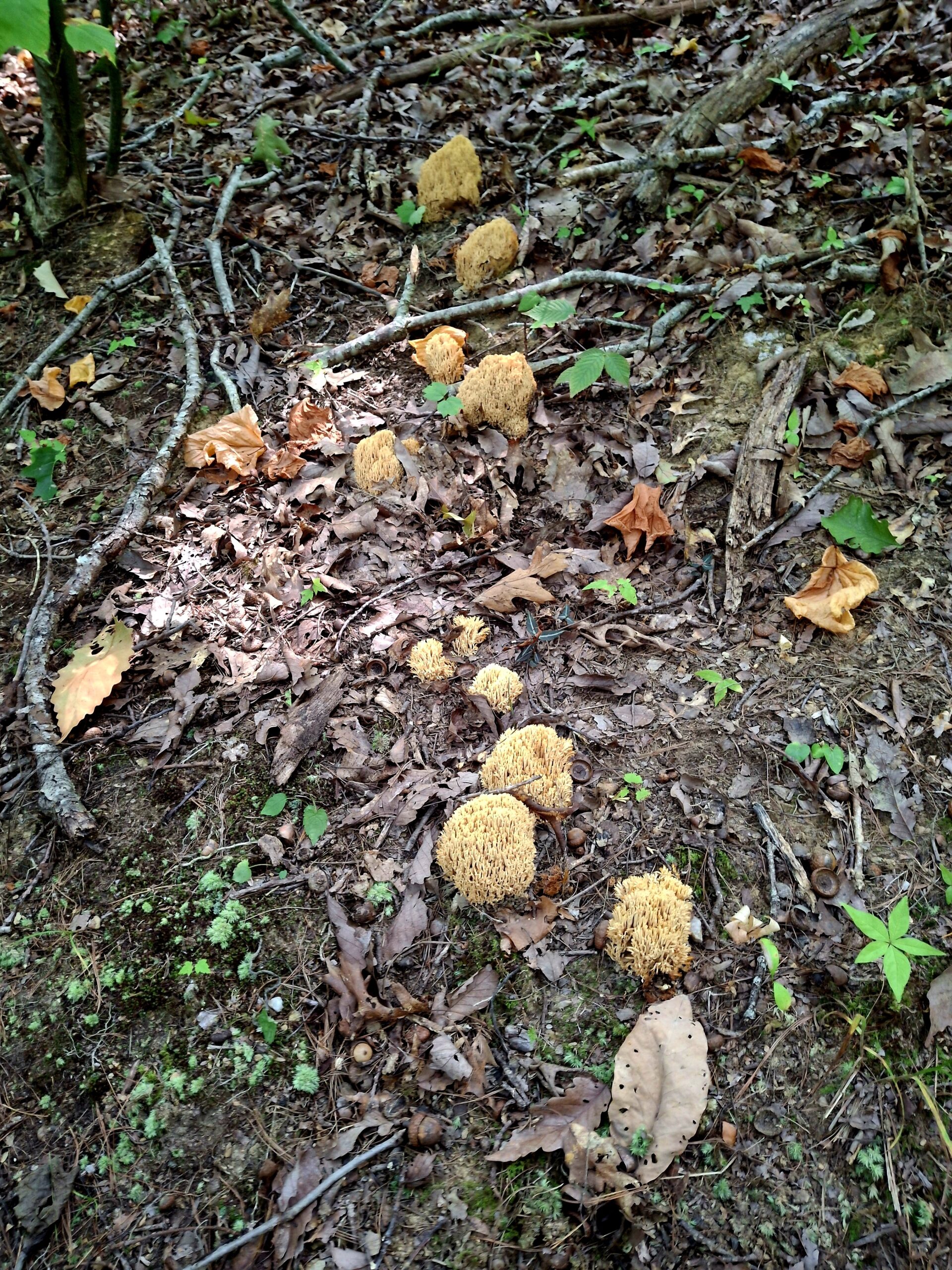
These beautiful interior pictures are from tracts 6 and 7, notice the mushrooms sprouting in the coolness.
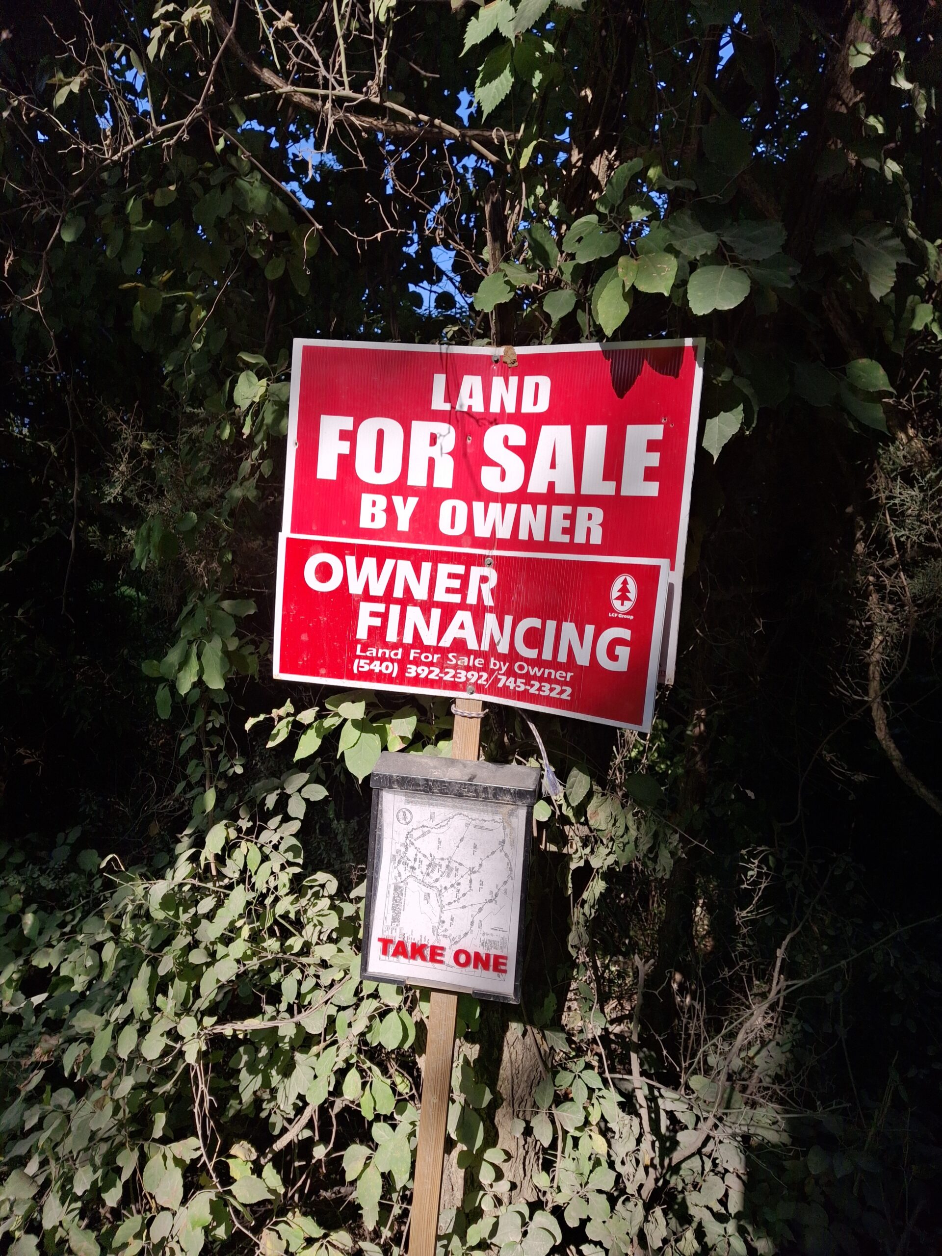


These tracts will be in high demand, so don’t wait, contact us for more information!
Tract 1 – 7.048 Acres – SOLD
Tract 2 – 5.092 Acres – SOLD
Tract 3 – 6.230 Acres – SOLD
Tract 4 – 25.370 Acres – SOLD
Tract 5 – 25.220 Acres SOLD
Tract 6 – 8.479 Acres SOLD
Tract 7 – 7.058 Acres SOLD
Tract 8 – 25.421 Acres SOLD
Tract 9 – 15.083 Acres SOLD
Directions from downtown Floyd:
Follow US 221 North toward Roanoke for 8.6 miles
Turn left on to Stonewall Road NE (State Route 612) for 5.8 miles
Turn right on Coles Knob Road (State Route 673) for .6 miles
Stay left on Coles Knob Road (now State Route 670) for .2 miles
Turn left on Daniel’s Run Road (State Route 610) for .6 miles
Turn right to Huffville Road NE (also State Route 610) for .1 miles
Turn right on Lick Ridge Road NE (State Route 659) for 1.1 miles
Continue on Lick Ridge Road NE (now State Route 790) for 1.2 miles
Property will be on the left-hand side of the road.
Directions from downtown Christiansburg:
From South Franklin Street head toward Pilot VA
Follow South Franklin Street it will change over to Pilot Road (State Route 615) for 7.9 miles
Pilot Road (State Route 615) will change to Daniels Run Road (Route 612) for 5.0 miles
Continue on Daniels Run Road (now Route 660) for .8 miles
Turn left on Huffville Rd NE (State Route 610) for .1 miles
Turn right on Lick Ridge Road NE (State Route 659) for 1.1 miles
Continue on Lick Ridge Road NE (now State Route 790) for 1.2 miles
Property will be on the left-hand side of the road.
Directions from downtown Salem:
Head West on E. Main Street in Salem
Turn right on Thompson Memorial Dr (VA-311 N) for 1.6 miles
Turn left to merge onto I-81 S for 7.5 miles
Take exit 132 for State Route VA-647 toward Dixie Caverns for .3 miles
Turn left onto Dow Hollow Road (State Route VA-647) for .2 miles
Turn right onto Lee Highway (changes to Roanoke Road)/West Main Street (US-11 S/US-460 W) for 8.4 miles
Turn left onto Alleghany Spring Road (State Route 637) for 6.9 miles
Turn right onto Forage Road (State Route 790) for .1 miles
Turn left onto Lick Ridge Road NE (also State Route 790) for 3.3 miles
Property will be on the right side of the road.